Locate
Confirm the right parcel.
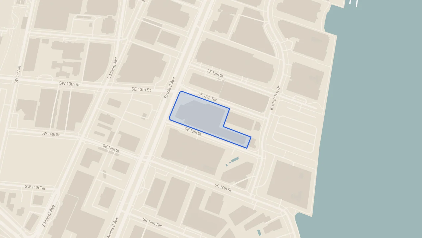
Send an address or folio. Orbis confirms the supported Miami-Dade parcel and records the available boundary source before work begins.
 ORBIS
ORBISMiami-Dade site bases for architects and design firms
Send us an address or folio. Orbis prepares the parcel, streets and surrounding buildings as a source-labelled DXF.
$39 for one covered parcel. One final ZIP · no subscription.
Pilot workbench access is issued after acceptance.
Orbis workbench · documented demonstration
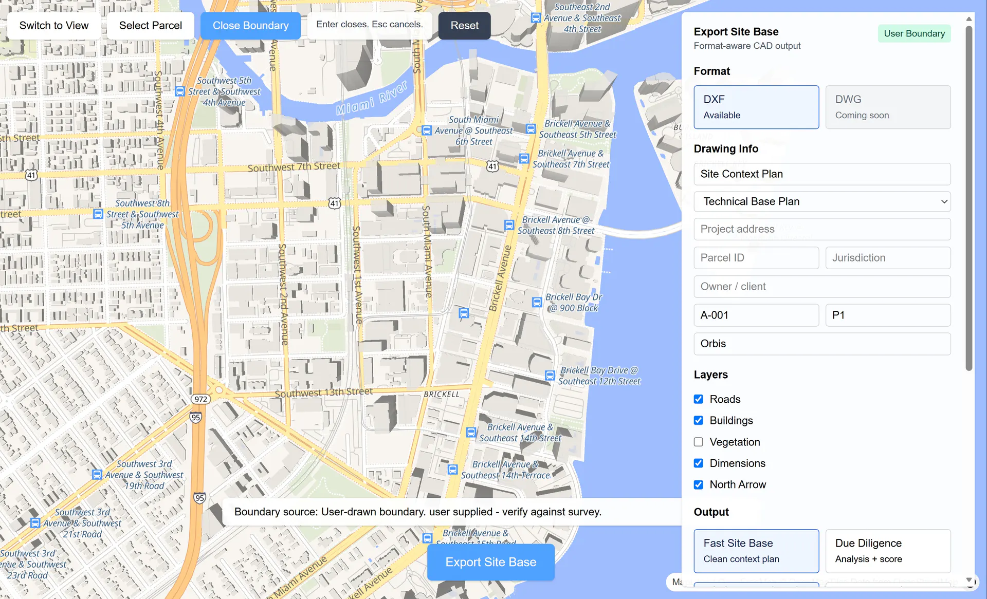
Locate
Send an address or folio. Orbis confirms the supported Miami-Dade parcel and records the available boundary source before work begins.
Define
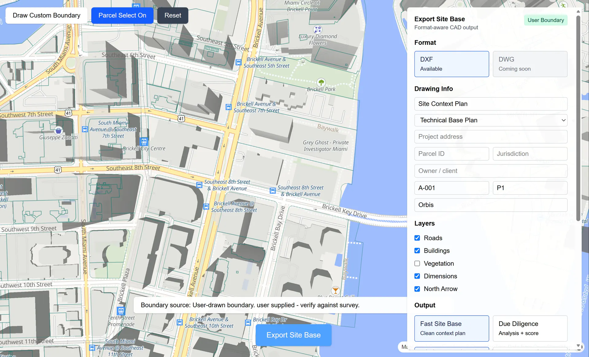
Use the available county parcel or draw the boundary yourself. The source stays attached either way.
Download
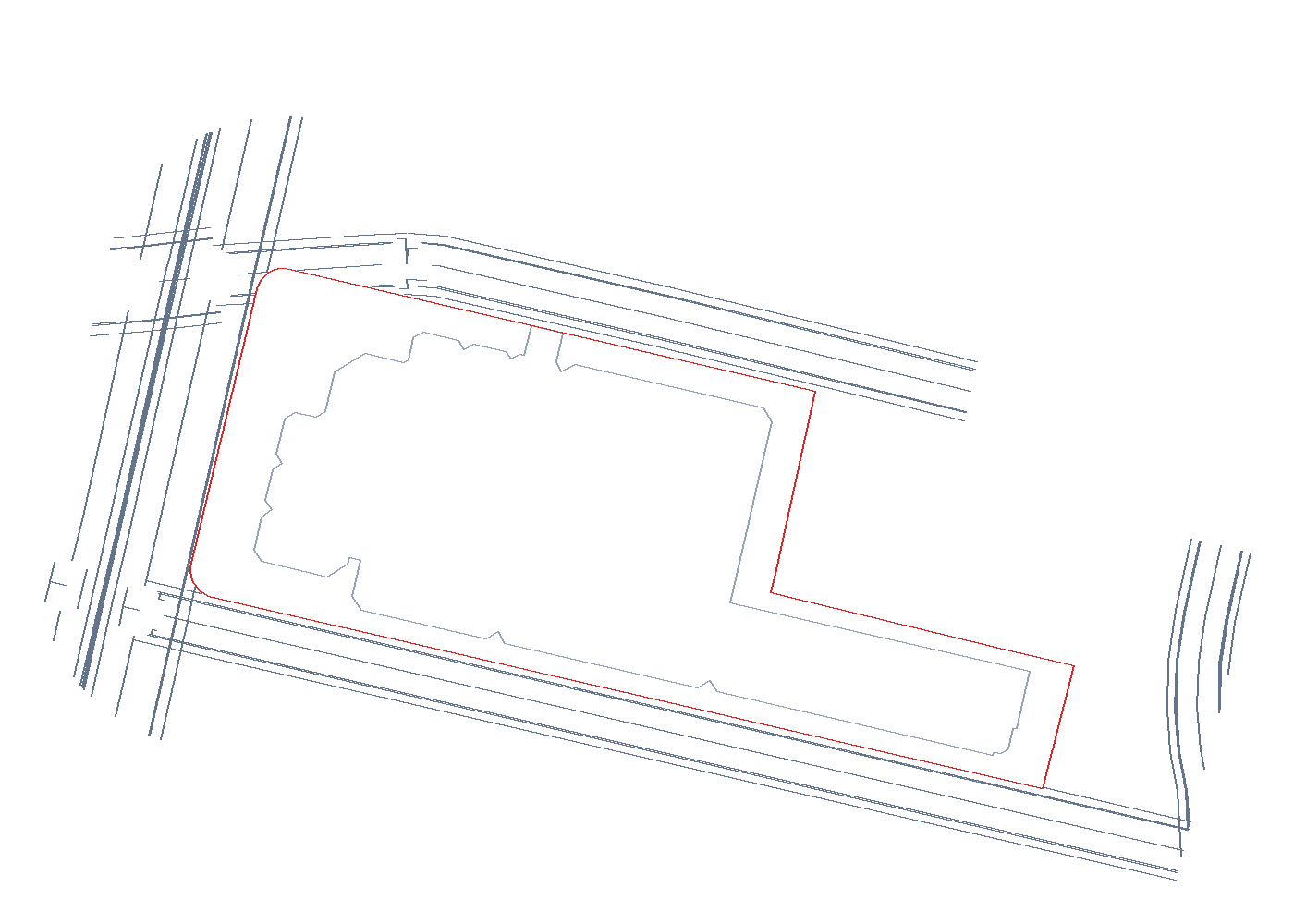
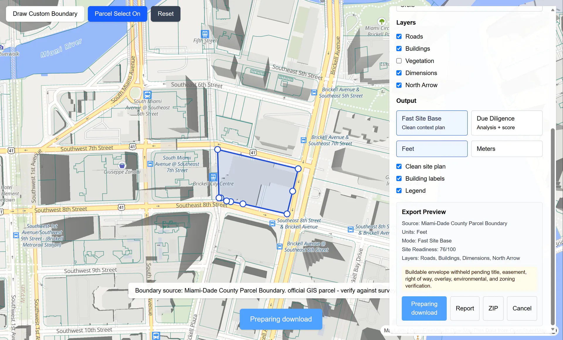
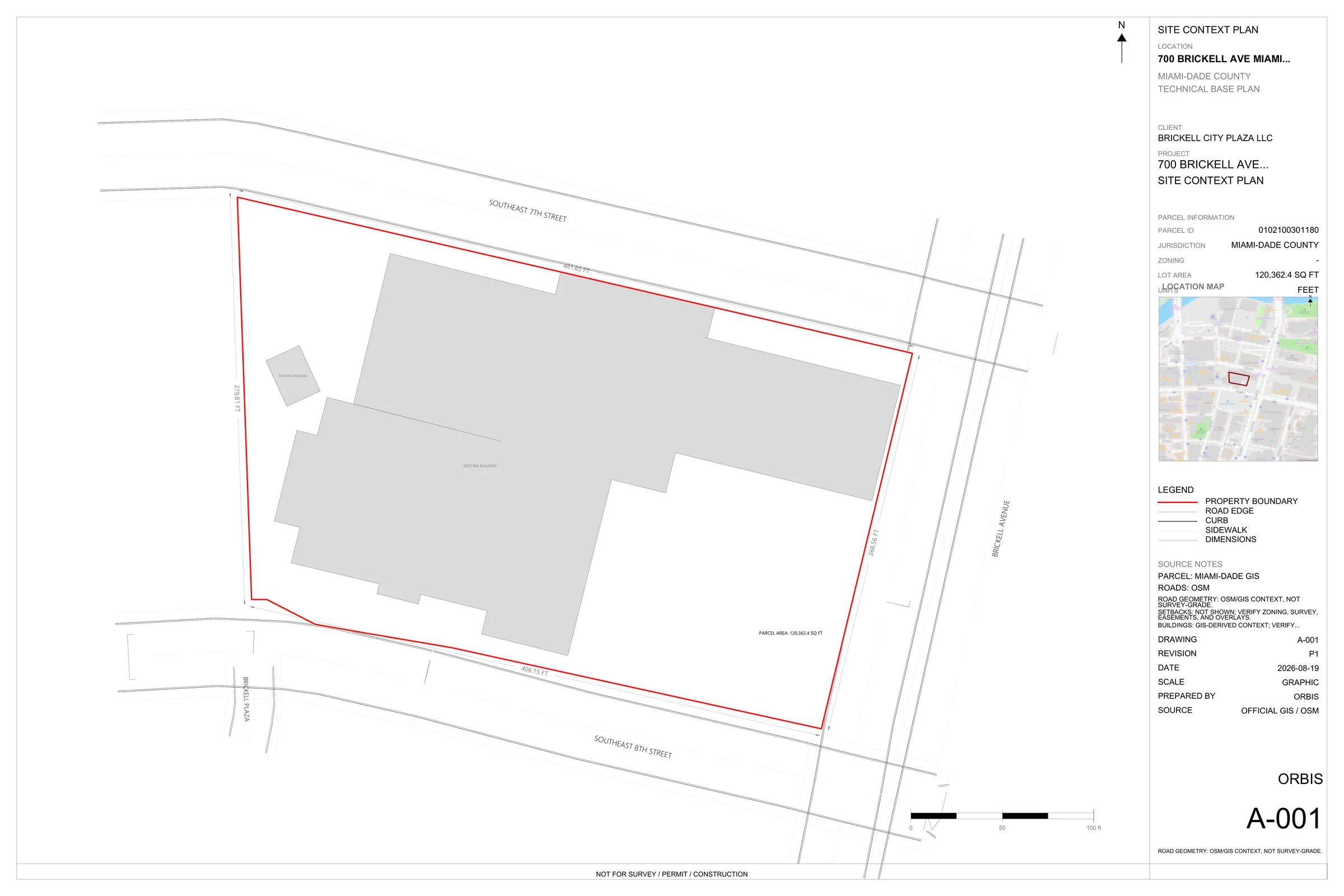
Choose the drawing context, then open the named-layer DXF with its preview, location map and source record.
Documented workflow · Brickell, Miami
This public-parcel demonstration follows one site from selection to a named-layer DXF, A-001 preview and source record.
Miami-Dade founding pilot
one covered parcel · one final ZIP · no subscription
The handoff
Your $39 founding pilot covers one supported parcel and one final validated ZIP. The seven-day access window starts when you activate it.
Parcel, roads, buildings, dimensions and named layers.
Review the sheet and selected parcel before opening the drawing.
Geometry sources and QA notes kept beside the drawing.
Check your parcel
We review the parcel and reply with coverage, timing and the exact handoff before requesting payment.
hello@orbis.studioThe essentials
Send a Miami-Dade address or folio. We confirm coverage, timing, and the handoff before payment; unsupported parcels are not charged.
One supported parcel delivered as one final validated ZIP with a named-layer DXF, A-001 preview, location map, and source record. Same-parcel corrections made before final delivery do not use another credit. There is no subscription.
Parcel data is matched to available Miami-Dade GIS. Road and surrounding context may use OpenStreetMap and other disclosed sources, which are identified with the package.
No. It is early-design context—not a survey, zoning review, permit drawing, legal record, or construction document—and must be verified by a licensed professional.
The DXF opens in AutoCAD, Rhino, Vectorworks, and other DXF-compatible applications. DWG is not included.